San Tan Valley · Neighborhood
Hunt Highway Corridor
A broad San Tan Valley corridor where parcel, utilities, zoning, and road access matter more than a subdivision label.
Quick answer
The Hunt Highway corridor is not one uniform neighborhood. It spans a broad part of the San Tan Valley / Pinal County market with a mix of subdivision homes, larger-lot properties, and parcels that can differ in utilities, road access, zoning, HOA structure, and permitted uses. Buyers should evaluate the exact parcel rather than applying one price, acreage, school, or commute assumption to the whole corridor.
At a glance
- Market type
- Mixed subdivision, larger-lot, and semi-rural pockets
- Price
- Property-specific; verify current listings and comps
- Lot / housing
- Varies materially by parcel and pocket
- Utilities
- Verify water, sewer/septic, electric, gas/propane for the exact parcel
- School assignment
- Verify district and school by exact address
- HOA
- Varies — some properties have associations, others may not
Pricing, HOA assessments, utility providers, insurance considerations, and travel times vary by property and should be verified during due diligence.
Public-school attendance boundaries and program availability can change. Verify the current assignment for the exact property address with the applicable district.
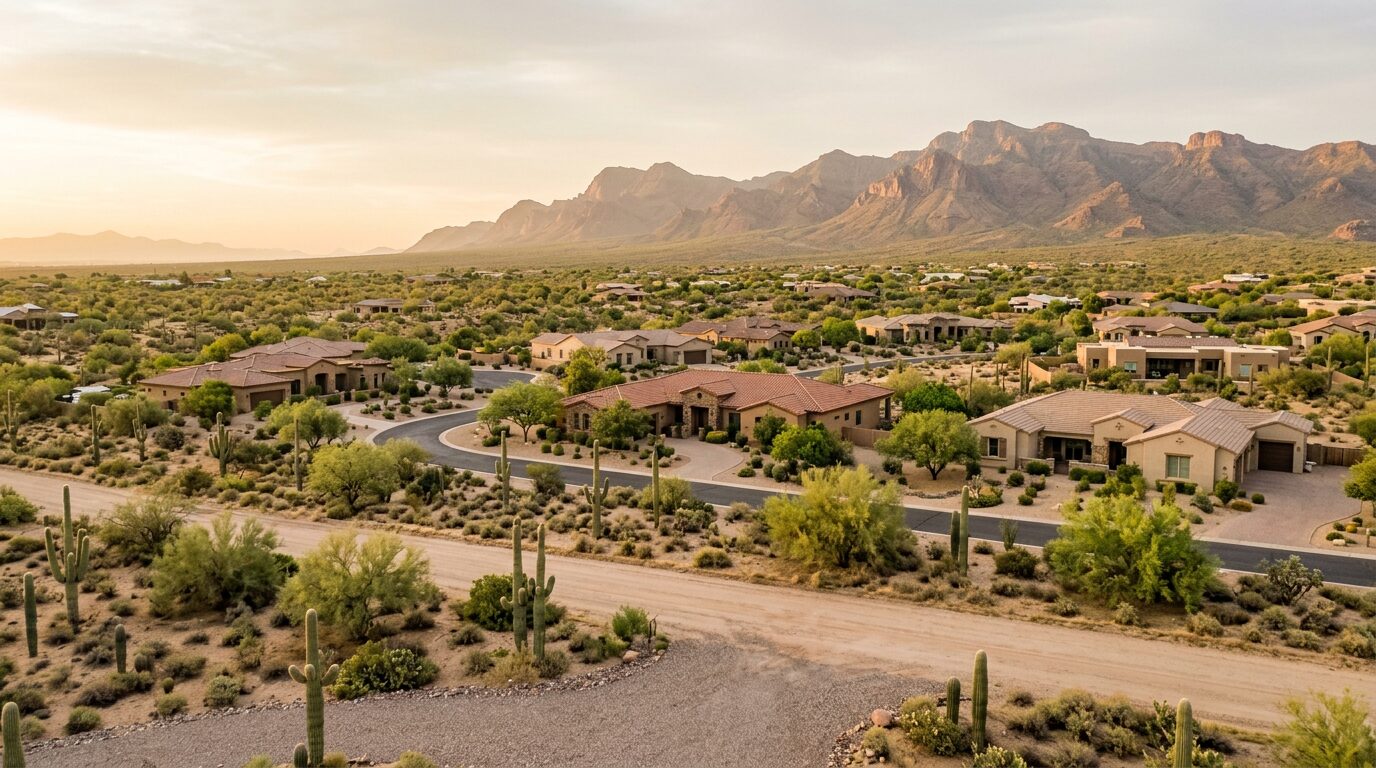
Imagery on this page is illustrative of regional housing character and does not depict a specific property or an actual photographed location.
Last reviewed: July 2026
Lifestyle fit
Who actually thrives here
- Buyers open to parcel-level diligence instead of master-plan uniformity
- Households comparing larger-lot or semi-rural pockets
- Owners whose needs depend on zoning, access, utilities, or permitted uses
Buyers who are open to doing more parcel-level diligence in exchange for a wider range of lot sizes, housing types, and community structures than a typical master plan offers.
Home styles
What you'll actually tour
- Conventional subdivision homes in some pockets
- Larger-lot and semi-rural properties in other pockets
- Housing type and age vary substantially along the corridor
Price range
Property-specific; verify current listings and comps
What it's like
Living in Hunt Highway Corridor
Hunt Highway is best understood as a corridor, not a single planned community. Conditions change block to block: some homes sit in conventional subdivisions, while other pockets feel more semi-rural or have larger parcels. Road surface, traffic exposure, utilities, nearby development, and property rules can matter as much as the house itself.
Strengths
- Broader range of lot and housing configurations than a uniform master plan
- Access to multiple San Tan Valley / Pinal County pockets
- Potential for properties with different utility or zoning setups
Honest tradeoffs
- More parcel-level due diligence is required
- Road, utility, HOA, zoning, and access conditions can differ sharply
- Commute and nearby development impact depend heavily on the exact location
Verify the exact property's zoning and permitted uses, legal access and easements, road maintenance responsibility, water source, sewer or septic system, utility providers, HOA or deed restrictions, flood information, school boundary, and tax history. If horses, RVs, workshops, manufactured housing, or future additions matter, confirm those uses for the parcel rather than relying on a corridor-wide description.
Local highlights
What's around it
Hunt Highway connects multiple San Tan Valley and Pinal County pockets with routes toward Queen Creek and the broader East Valley. Drive the exact origin-to-destination route at the times you would actually travel; a corridor-wide commute estimate is not reliable.
The Relocation Guide
Don't pick the wrong East Valley city
Most out-of-state buyers shortlist the wrong neighborhood first. The guide walks you through how to choose the right city, set realistic expectations, and avoid the moves people regret in year two.
Related neighborhoods
If Hunt Highway Corridor fits, also look at these
Common questions
About Hunt Highway Corridor
- What is Hunt Highway Corridor in San Tan Valley, AZ like?
- The Hunt Highway corridor is not one uniform neighborhood. It spans a broad part of the San Tan Valley / Pinal County market with a mix of subdivision homes, larger-lot properties, and parcels that can differ in utilities, road access, zoning, HOA structure, and permitted uses. Buyers should evaluate the exact parcel rather than applying one price, acreage, school, or commute assumption to the whole corridor.
- Who does Hunt Highway Corridor typically fit?
- Buyers who are open to doing more parcel-level diligence in exchange for a wider range of lot sizes, housing types, and community structures than a typical master plan offers.
- What should buyers know before touring Hunt Highway Corridor?
- Verify the exact property's zoning and permitted uses, legal access and easements, road maintenance responsibility, water source, sewer or septic system, utility providers, HOA or deed restrictions, flood information, school boundary, and tax history. If horses, RVs, workshops, manufactured housing, or future additions matter, confirm those uses for the parcel rather than relying on a corridor-wide description.
Have a more specific question? Ask Haylee about Hunt Highway Corridor.
Personal · With Haylee
Want a real read on Hunt Highway Corridor?
Photos and stats only get you so far. Twenty minutes with Haylee will tell you whether Hunt Highway Corridor actually fits the way you want to live, and which alternatives are worth a second look.
Start the conversation